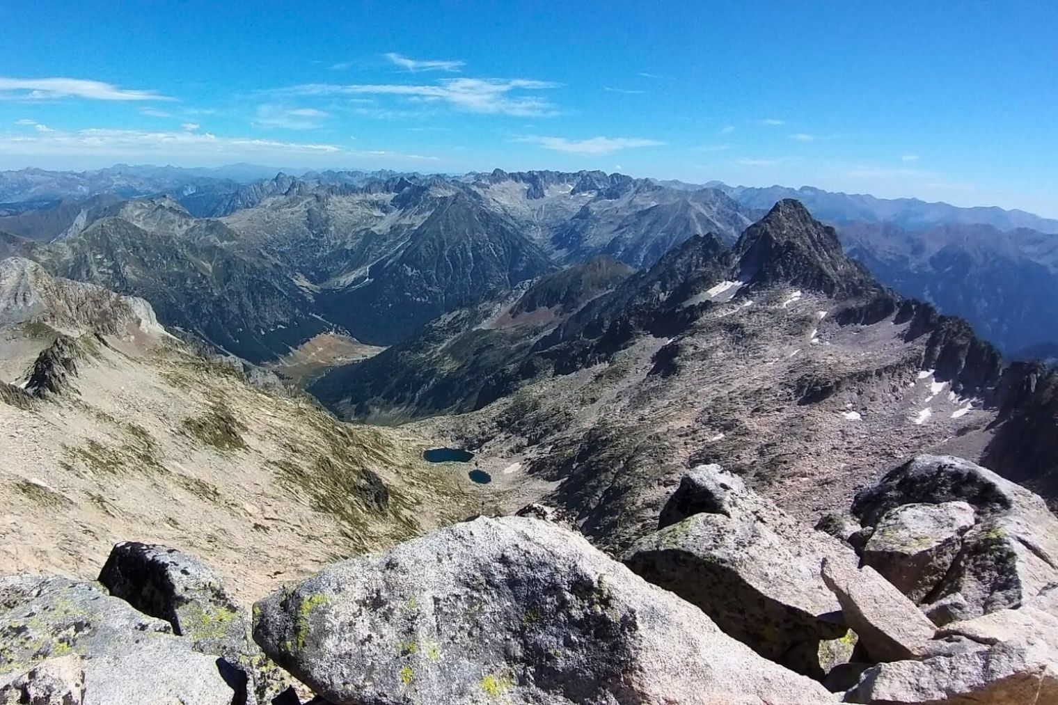

Aneto and Forau de Aigualluts

Waters of Aneto

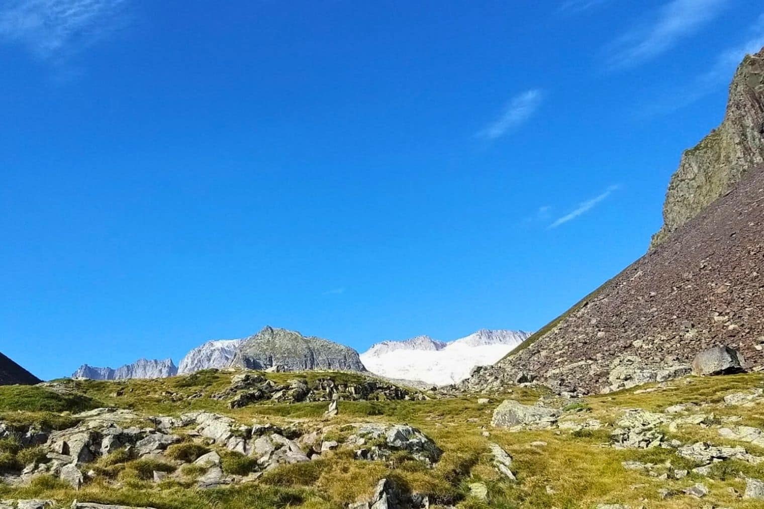
Aguas del Aneto is a journey through the scars left by water in the heart of the Pyrenees. Here, the landscape is not static; it is the result of thousands of years of erosion on the purest granite in the mountain range.

THE GREATEST MYSTERY OF THE PYRENEES

WATERS OF ANETO

Stop being a visitor and become a tracker of an invisible river, challenging the verticality of the granite to discover the best-kept secret of the Maladeta.

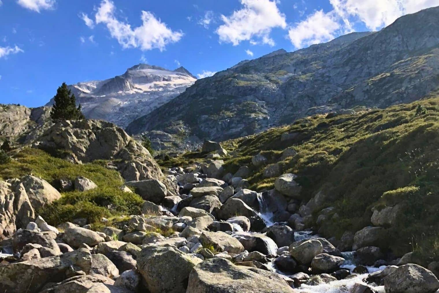
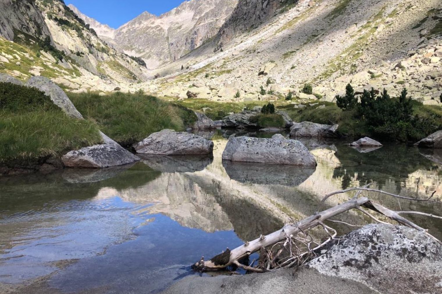
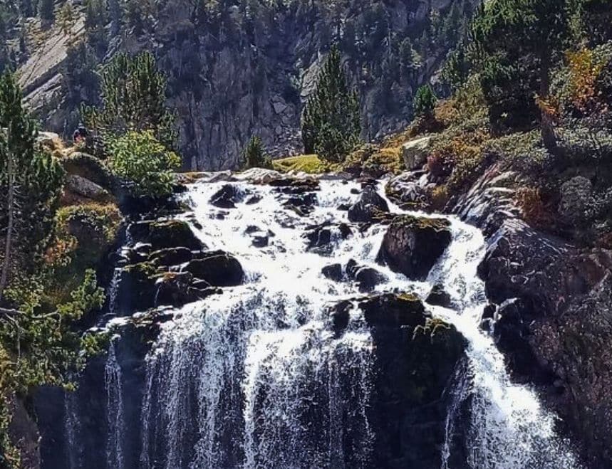
On this circular route, you will walk across the mirror-like surface of mountain lakes, cross ravines roaring with meltwater, and skirt the last glaciers in southern Europe. But the real secret awaits you in Forau de Aigualluts: the greatest mystery of the Pyrenees, where the waters of Aneto disappear spectacularly to travel through hidden tunnels and reappear in Uelhs deth Joèu, in the Aran Valley.

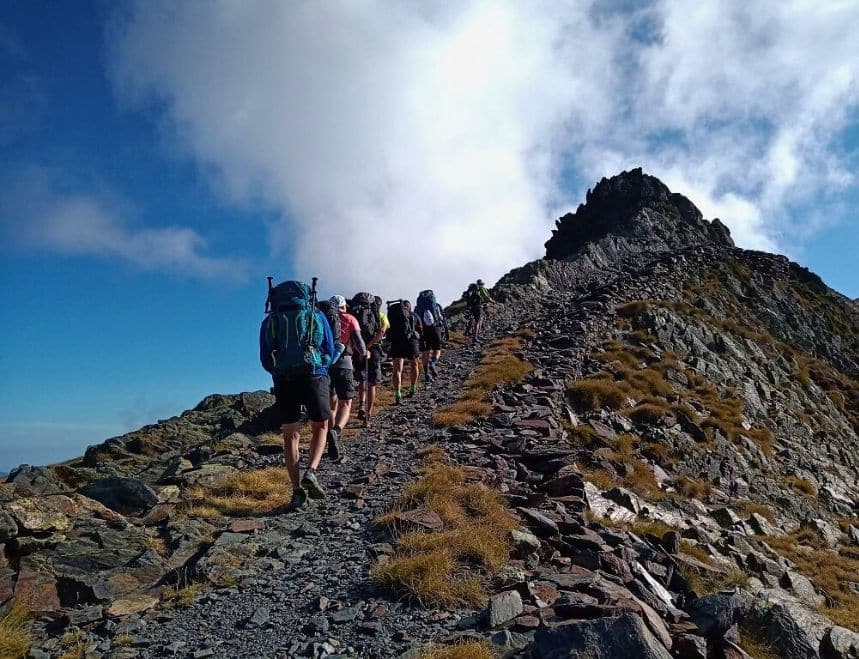
This is the point where water becomes the invisible thread that links the Renclusa, Conangles, and Llauset refuges. This is a journey for mountaineers seeking the essence: bare rock, open skies, and the sound of water reminding you that, in the Kingdom of Aneto, nothing stays the same, but everything is eternal.
MORE THAN AN EXPERIENCE

More than just walking, you embark on a unique experience that begins long before you take your first step on the mountain.

Safety at every step

You will feel safe thanks to the latest technology in real-time monitoring, which allows us to intervene quickly if something does not go according to plan.

LEARNING AT EVERY STEP

Learn and evolve as a mountaineer with the videos and trainings we offer you, improving your skills to enjoy every mountain adventure to the fullest.

DISCOVER OUR ROUTES

SELF-GUIDED

525,00 €
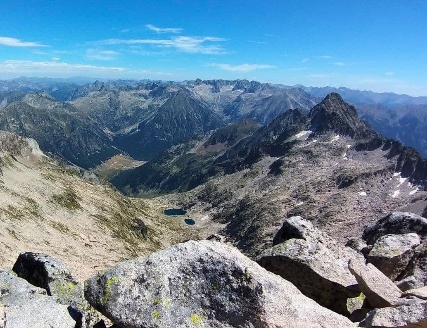
WATERS OF ANETO

THE CLASSIC

  • 5 stages
  • 76.33 km
  • +5,974 m/-5,877 m
  • Physical Difficulty: High
  • Technical Difficulty: High

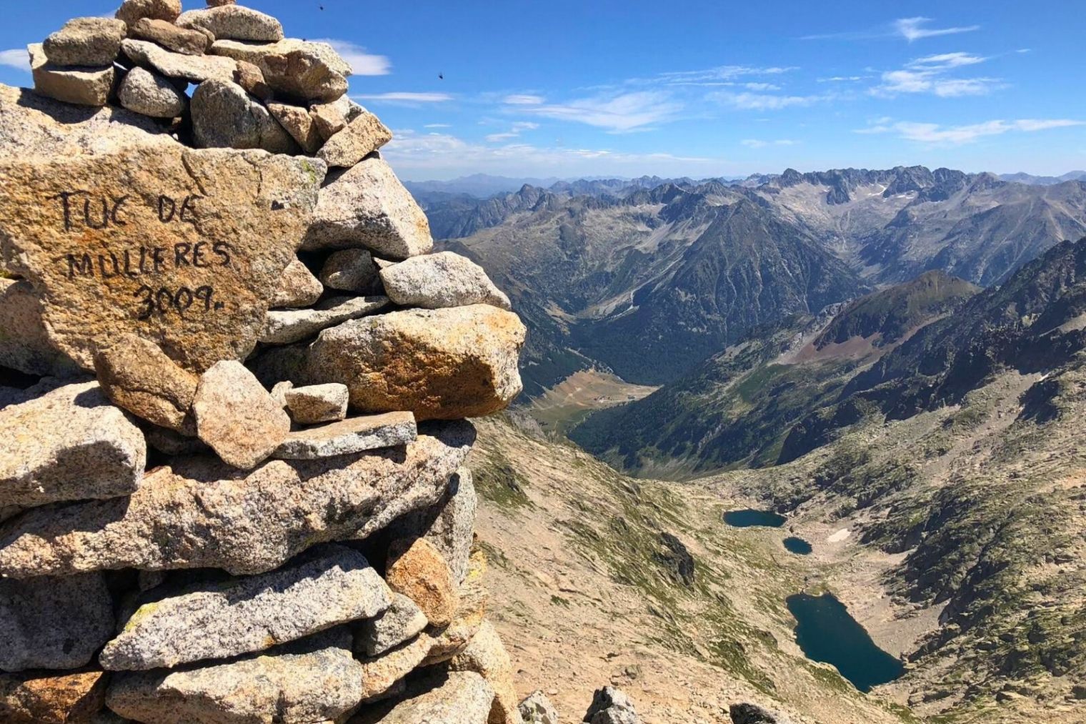
Master the eternal water cycle on this 5-stage journey through the heart of the Kingdom of Aneto. An endurance challenge with over 5,000 meters of elevation gain that connects the history of La Renclusa with the modernity of Llauset. You will conquer legendary passes such as the Collado de Mulleres (2,928 m), following the trail of water from its disappearance in Aigualluts to its reappearance in the Aran Valley.

460,00 €
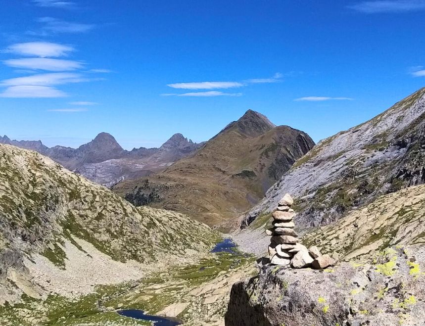
WATERS OF ANETO

Pioneers

  • 4 stages
  • 57.2 km
  • +4,594 m/-4,594 m
  • Physical Difficulty: High
  • Technical Difficulty: High

Designed by a park ranger and a guide, this four-day route connects the most authentic corners of the Maladeta massif. It is an itinerary with character that follows in the historical footsteps of the first explorers and captures the spirit of the high mountains. A journey designed "from within" for those seeking the pure essence of each mountain lake and each summit.

THE GREATEST MYSTERY OF THE PYRENEES

FOLLOW THE TRAIL!
What do routers say about their experience with Alta Ruta?

YOUR EXPERIENCES

Published on Google Google
Tom Marshall's profile picture
Tom Marshall
Google Star 1Google Star 2Google Star 3Google Star 4Google Star 5Trustindex verifies that the original source of the review is Google.
Excellent route and a well organised team who were all so knowledgeable and helpful. Would definitely recommend. Thank you
Published on Google Google
Adam Thill's profile picture
Adam Thill
Google Star 1Google Star 2Google Star 3Google Star 4Google Star 5Trustindex verifies that the original source of the review is Google.
If you want to hike in the Pyrenees and want to make sure you have all the logistics covered and a guaranteed viable route, don’t hesitate to book with La Alta Ruta. The peace of mind that comes with having everything arranged and the trip supported is easily worth the modest premium charged. The organization and service we received from start to finish were excellent. When we arrived to begin the 8-day trip, the manager advised us to reverse the direction due to unseasonably heavy rains the week before, which had temporarily blocked one of the routes. This support alone—calling and rebooking all the accommodations—was a huge help. It would have been a massive headache for us to handle at the last minute, considering that each mountain hut has to be contacted directly by phone or email. The route itself was amazing, too. The ecology and scenery were truly diverse. Additionally, the GPX files provided were invaluable in some instances where trails were less well marked, and it was great to know we had that backup when we weren’t entirely confident in our map-reading skills. And one final point to note: nearly every leg of the journey had “Plan B” options, in case the weather wasn’t ideal or you wanted a less challenging route. We used one of these backup routes on a very rainy day, and it saved us from a tough traverse in wet conditions with low visibility. All in all, a fantastic trip, made even better by the fantastic service. I can’t recommend it highly enough.
Published on Google Google
Gemma Puigvert's profile picture
Gemma Puigvert
Google Star 1Google Star 2Google Star 3Google Star 4Google Star 5Trustindex verifies that the original source of the review is Google.
A SPECTACULAR trail! Tough and challenging, but doable. We were a family with kids ages 11 and 14, and we were able to complete the entire trail without any problems. Our daily hikes took longer than expected for the “general” public, but we were prepared for that. It’s essential to familiarize yourself with the trail and its difficulty before setting out! 100% recommended!
Published on Google Google
Ignacio López Corral's profile picture
Ignacio López Corral
Google Star 1Google Star 2Google Star 3Google Star 4Google Star 5Trustindex verifies that the original source of the review is Google.
Well managed route, they are professionals.
Published on Google Google
Javier Paredes' profile picture
Javier Paredes
Google Star 1Google Star 2Google Star 3Google Star 4Google Star 5Trustindex verifies that the original source of the review is Google.
I've been trekking several times and this may be the best, it's hard if you are not in shape, but the gap, Tucarroya.... The refuges..... They are places to fall in love with, great routes and well organized, controlled at all times. THANK YOU
Published on Google Google
Leire Fernandez de Aranguiz Izarra's profile picture
Leire Fernandez de Aranguiz Izarra
Google Star 1Google Star 2Google Star 3Google Star 4Google Star 5Trustindex verifies that the original source of the review is Google.
This was my first solo trip to the mountains. I decided to go with them because it made me feel very safe knowing I was being tracked at all times via the GPS tracker. It was an unforgettable experience, and I’ll definitely do it again. I’ve opened a door to the mountains, and I’m never going to close it. Thank you 😊
Published on Google Google
paolo a.l. profile picture
paolo a.l.
Google Star 1Google Star 2Google Star 3Google Star 4Google Star 5Trustindex verifies that the original source of the review is Google.
Vignemales Tour. We did the tour in early August 2024. Beautiful landscapes—we enjoyed the stunning mountain scenery and the beautiful locations of the mountain huts. Alta Ruta’s organization was excellent. We met Rafa, a team member, the day before we started, and he was very informative and professional. He gave us useful tips for completing the route. We really appreciate that the team provided us with a satellite messenger for our safety. Thank you for your help. Paolo from Italy