


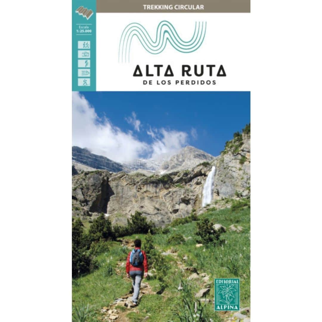

High Alpine Lost Route Map
13 €
Your Ultimate Adventure on the High Route of the Lost begins with the Official Map.
1:25000 the maximum detail so that you will always know which detour to take.
Updated annually by our expert guides, it is the essential tool to explore safely and accurately the secrets of Monte Perdido and Vignemale. Do not miss any detail!
Embark on the Alta Ruta de los Perdidos, the most emblematic circular trek in the Pyrenees, with the security and confidence that only the official Editorial Alpina map can offer you. This is not just any map; it is your most reliable travel companion, meticulously revised and updated every year by our expert guides who walk these trails. They bring their direct experience in the field to guarantee you the most accurate and recent information.
The Alta Ruta de los Perdidos immerses you in a spectacular journey of three to seven days, embracing the majestic massifs of Monte Perdido and Vignemale. Discover their imposing north faces, the southernmost glaciers in Europe that still resist offering a unique natural spectacle, and the Pyrenean grandeur through legendary valleys such as Ordesa, Pineta, Añisclo, Bujaruelo and Ossoue.
With this map, each stage becomes an enriching experience: from the breathtaking landscape changes to the stories of great Pyrenees climbers engraved on each summit. Visualize waterfalls, lush forests and crystal clear rivers with the certainty of having the most detailed and up to date cartography.
Choose the official map of the Haute Route des Perdues: your guarantee for an unforgettable adventure in trekking paradise.
Additional information
| (*) Shipping: | Shipping is free for our customers. If you are going to do a route with us this year it is not necessary to buy a map, you will receive one with your registration. |
|---|---|
| Returns and exchanges | In your starting shelter you will be able to make changes due to sizing errors. |