

Haute Route Molières/Besiberris
Besiberris Tour
-
 3 stages
-
 34.8 Km
-
 +3425m/-3428m
-
 Physical Difficulty: High
-
Technical Difficulty: High
Venture into the Besiberris massif and the Aigüestortes i Estany de Sant Maurici National Park to discover the granite giants that dominate the horizon. Conquer iconic peaks such as Besiberri Sud and explore wild terrain dotted with high mountain lakes. A technical and demanding trek where each step brings you closer to completing your own personal "eight-thousander" in the most untamed and vertical sector of the Pyrenees.
As of
373,00 €
HIGH MOLIÈRES/BESIBERRIS ROUTE
Besiberris Tour
-
3 stages
-
34.8 Km
-
+3425m/-3428m
-
Physical Difficulty: High
-
Technical Difficulty: High

CONQUER YOUR EIGHT-THOUSANDER
THE ROUTE
DAY 1
Place of origin: Conangles Refuge
Arrival at the Conangles refuge where we will welcome you, introduce ourselves and have an explanatory talk. At this meeting point we will give you the welcome pack, we will see the details of the route, the conditions of the mountain and we will teach you how to use the security geolocator device that you will have at your disposal during the whole itinerary. Here you will be able to solve your last minute doubts. And from here begins the fantastic adventure that will take you through some of the most spectacular landscapes of the Pyrenees. All this enlivened with a welcome drink and local gastronomic products.
DAY 2 / STAGE 1
Conangles Refuge- Ventosa i Calvell Refuge
-
13.68 Km
-
+1900m/-1285m
In the first stage, from the Conangles refuge, still in the Aran Valley, we will immediately enter the Alta Ribagorça region to go all the way up the Besiberri Valley.
During the ascent, we will enjoy the different lakes and the impressive glacial cirque crowned by the well-known ridge of the Besiberris. Through a slightly decomposed chimney we will gain the col d'Abellers from which we will have the Besiberri S already very close.
From the top we descend a few meters towards the Comoloforno to find the gap that will give us access to the Cavallers slope. From here we have a very long, technical and entertaining descent to the Rio Malo plateau. At this point, to finish the stage, we will take the usual path to access the Ventosa i Calvell refuge.


DAY 3 / STAGE 2
Ventosa i Calvell Refuge- Restanca Refuge
-
5.20 Km
-
+415m/-606m
This second stage is relatively less demanding in terms of distance and elevation gain. We will leave the Ventosa hut in the direction of the Tumeneia Ponds, bordering them to the east and take the path that ascends to the Tumenia pass. The descent to the Restanca refuge is easy from the pass.
Variant Peyta-Besiberri Gap N
From the Ventosa hut skirt the Tumeneia Lakes to the south and continue towards the Collet des Isards to reach Brecha Peyta. It is a difficult navigation route. You must be very attentive not to miss the milestones.
If we are prepared, experienced and have the right equipment, before Brecha Peyta we can temporarily detour to reach the Besiberri Nord. For this stage we can hire a mountain guide (check availability and prices with the organization).
From the vicinity of Brecha Peyta, depending on the weather, conditions and abilities of the group, it is possible to complete the ascent to Besiberri N (PD+, III obligatory, recommended rappel), and return to Brecha Peyta to continue the stage.
From Ventosa Refuge to Restanca Refuge
Distance: 5,20 km. Elevation gain: +415 -606.
From Refugio Ventosa to Refugio Restanca with the Besiberri N summit.
Distance: 11,80 km. Elevation gain: +1110 -1185.


DAY 4 / STAGE 3
Restanca Refuge- Conangles Refuge
-
16.9 Km
-
+1040m/-1545m
The third stage is the longest but has a contained slope and passes through better terrain for walking, after the previous stages through much more uneven and pre-draggy terrain.
We leave the Restanca Refuge to go up the Val de Rius to the Rius Lake. Here we leave the mythical GR-11 to gain the gentle Coret del Redon where we discover magnificent views over the Redon Lake and the Tuc deth Pòrt de Vielha, with the spectacular backdrop of the Molières or Mulleres, the Aneto and the Maladetas.
After topping the aforementioned Tuc deth Pòrt de Vielha, we will descend to the historic pass of Pòrt de Vielha and continue the descent to the south again towards Conangles, starting point and end of route.


ENJOY TO THE FULLEST
ADDITIONAL INFORMATION
Includes
All of this is included in your adventure:
Total Safety: Garmindevicewith geolocation and satellite technology. Includes constant professional monitoring by our team (without sharing your location with third parties to ensure your privacy). Guaranteed communication with us even without cell service and an SOS button that immediately activates the rescue protocol.
Comfort:Halfboard at all shelters + Picnic at the Ventosa Shelter.
Management:Registrationand full reservation of guaranteed places.
Material: Officialmapof the Alpina route, official T-shirt, and passport for stamping at mountain huts.
Experience: Technicalbriefingin Conangles, welcome drink at each refuge, and final toast.
If you prefer a guided tour to a self-guided tour, check the dates for guided tours of Besiberris.
Does not include
1. Transfers to/from Bujaruelo (ask us if you need transportation).
2. Personal expenses and tips.
3. Expenses derived from unexpected events, either by third parties or meteorological events (delays, cancellations, floods, landslides, snowfalls, natural disasters, etc.). New: you can take out the flexible cancellation insurance to cover these situations.
4. Any service not specified in the "Included" section.
Rates for 2026
Non-member: €403
Member (*): €397
(*) The federated price includes both FEDME and hut correspondence.
Extra Services
Accident insurance for the whole trip: 30 € per person consult conditions here.
Early cancellation insurance: 50 € per person check conditions here.
Flexible cancellation insurance: 99€ see conditions here.
Rental of Petlz ice axes and crampons: pack (6€ per day) / 1 tool (3€ per day).
Exclusive Ternua T-shirt: 18€

Haute Route Molières - Besiberris
REFUGIOS
REFUGIOS
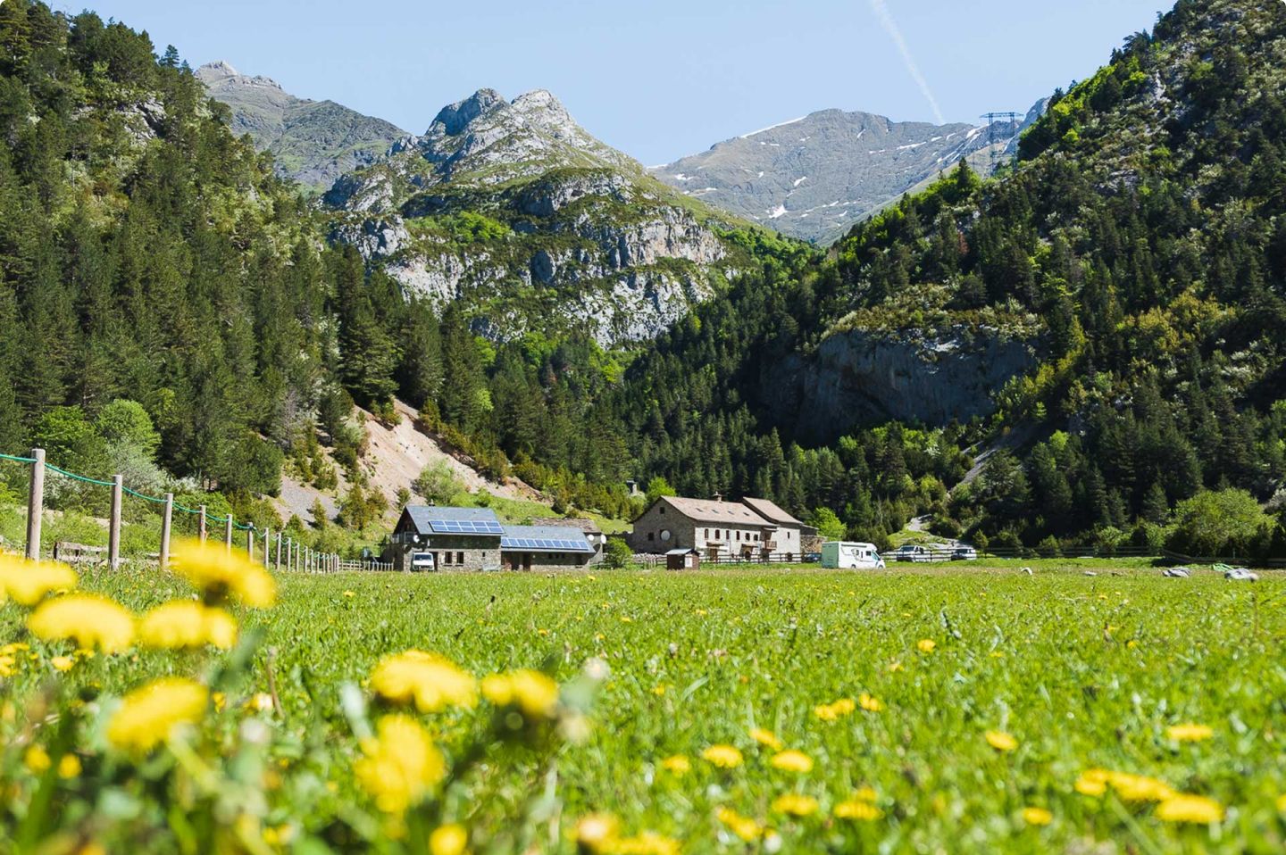
Artiga de Lin Refuge
Guards: Sutri.
Rooms: 26 beds habs of 6 and 4.
Includes: Comforter and cushion.
Bathroom: With hot water shower.
Breakfast: From 7,30am
Dinner: 19h.
Extra services: Slippers , food and beverage service, library and games, wifi, mountain guides, visa.

REFUGIOS
Conangles Refuge
Guardian: Asier Urruzuno.
Rooms: 36 beds.
Includes: Blankets and sheets.
Bathroom: With hot water shower..
Breakfast: Extensive breakfast and dinner schedule..
Extra services: Bar and picnic service and Wifi.

REFUGIOS
Ventosa i Calvell Refuge
Guardian: Miguel Sanchez and Belen.
Rooms: 69 beds communal rooms..
Includes: Quilts.
Bathroom: With hot water shower ..
Breakfast: 7 to 8 am .
Dinner: 19h.
Extra services: Food service and bar.

REFUGIOS
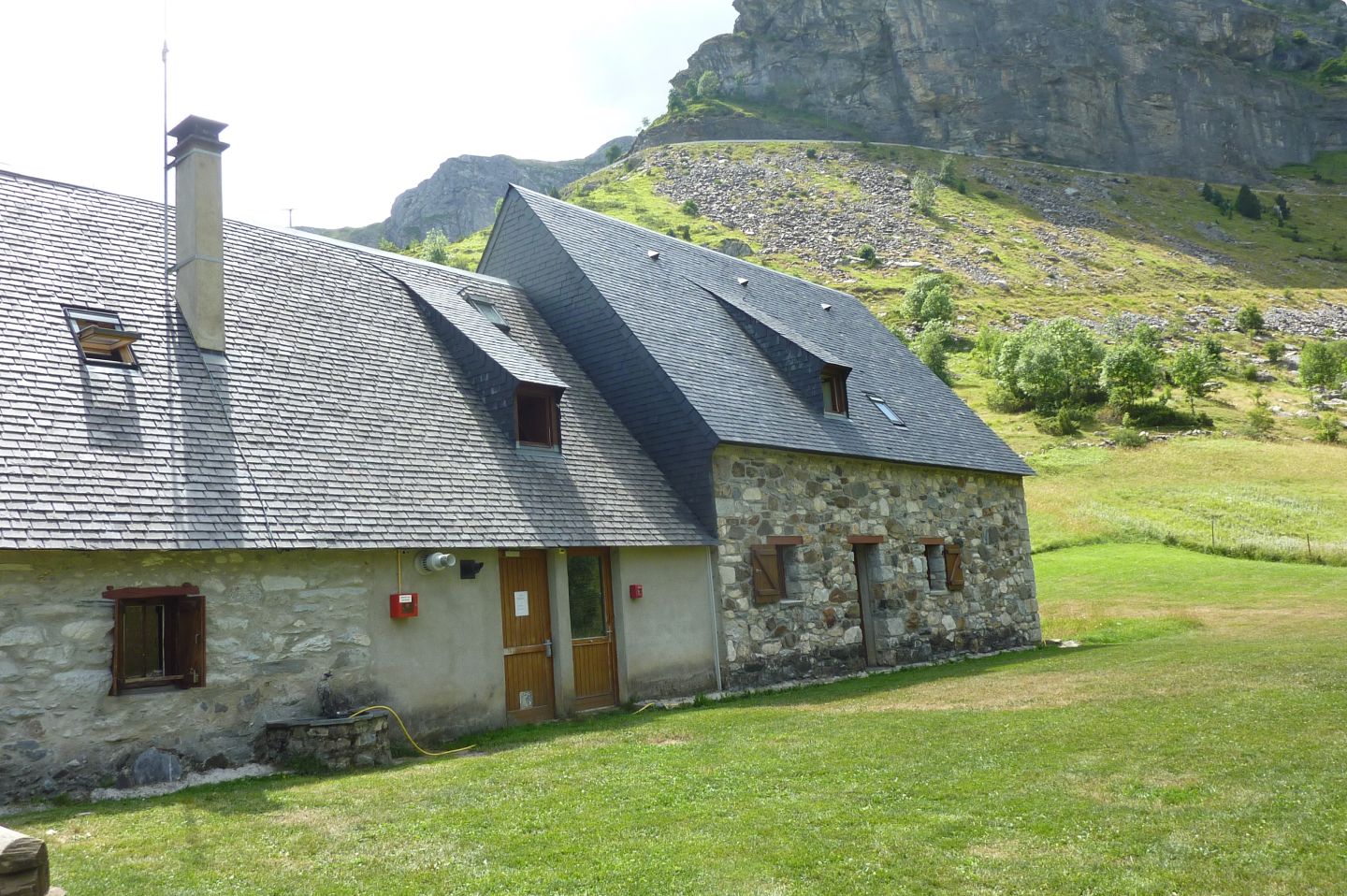
Restanca Refuge
Guardian: Josep Mohedano.
Rooms: 80 bunk beds 6 rooms.
Includes: Blankets.
Bathroom: With hot water shower..
Breakfast: 7 a 8.30
Dinner: 19h.
Extra services: Pic-nic and bar.
REFUGIOS
Hotel Balneario Caldes Boí
Hotel: 3 stars.
Rooms: 65 rooms, divided into 49 doubles, 2 superior doubles and 14 singles.
Includes: Thermal center, sheets, towels and blankets.
BathroomWith hot water shower.
Breakfast: ample breakfast and dinner schedule..
Extra services: Thermal center, bar cafeteria.

REFUGIOS
Hotel Riu Nere
Hotel: 3 stars
Rooms: 50 rooms and 8 apartments.
Includes: Blankets and sheets.
Bathroom: With hot water shower.
Breakfast: Bufett. Dinners with a wide schedule..
Extra services: Picnic and bar.

MORE THAN AN EXPERIENCE
More than just walking, you embark on a unique experience that begins long before you take your first step on the mountain.

Safety at every step
You will feel safe thanks to the latest technology in real-time monitoring, which allows us to intervene quickly if something does not go according to plan.

LEARNING AT EVERY STEP
Learn and evolve as a mountaineer with the videos and trainings we offer you, improving your skills to enjoy every mountain adventure to the fullest.


